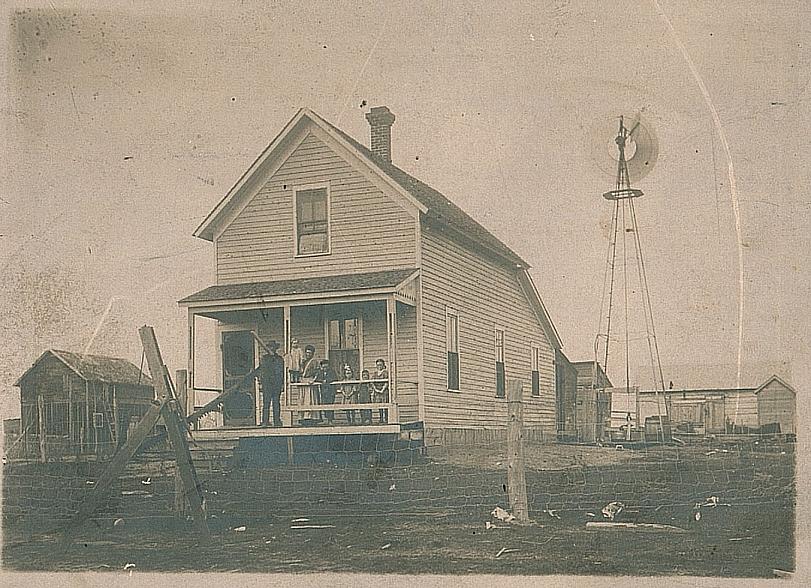
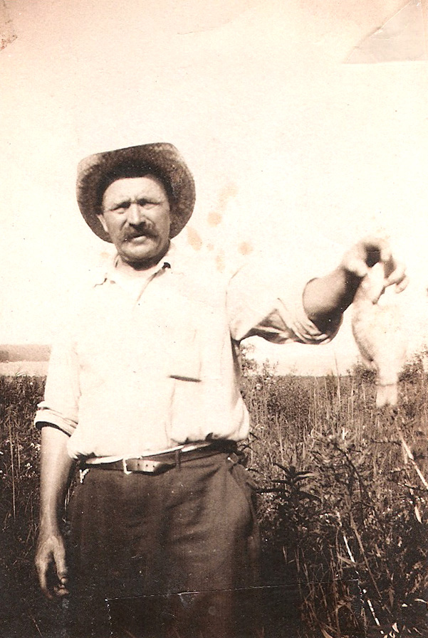
I thought I would write a post on how to convert one of your ancestor’s Land Records into an actual physical location. Right now, I only have the information on how to do this in Wisconsin with the resources that they have available. Other states may have these items available too. Your mileage may vary.
I have Wisconsin Land Records for two of my ancestors, Mathias FIRMENICH and Jean Baptiste LAURENT. I will use Mathias’ Land Record for this example. You can view his Land Record on my Mathias site’s “Land Purchase” entry.
Step One
Find the spot on the record that lists the exact location that your ancestor purchased from the US Government. On Mathias’ record, in the first paragraph, it reads
..the claim of Mathias B. Firmenich has has been established and duly consummated in conformity to law for the southeast quarter of Section 18 in Township 46 north of Range 4 west of the 4th Principal Meridian in Wisconsin containing 160 acres.
To most people, this just looks like gibberish. It did to me at first. I knew what it meant, but I had no idea where to even start to look for it.
By some luck, I happened to find Wisconsin’s Public Land Survey System website. The site provides “County and regional Public Land Survey System (PLSS) Township indexes for the state of Wisconsin.” Wisconsin’s PLSS is measured from the Fourth Principal Extended Meridian, which is part of the “4th Principal Meridian” mentioned in Mathias’ record.
Once I had found this site, I was able to view the Northwest section of the state, which is where I assumed Mathias purchased his land. I looked at that map and found Township 46 listed on the right side of the map and then Range 4 listed at the bottom of the map and traced it to its location in Ashland County. This information would be used on the next website that I found.
It’s a pleasant surprise that the Wisconsin DOT website has a section that includes very detailed maps of every single county in the state. These maps are multi-megabyte PDF files that contain a lot of information about each county. For example, here is the map for Ashland County (PDF). If you’re looking at the Ashland County map, you will see their marking for Township 46 North (T-46-N) on the sides and also Range 4 West (R-4-W) on the top and bottom. If you follow these, you will end up at the town of White River. It’s tough to see, but the town boundaries are drawn in a reddish, pinkish dashed line.
Find the Section
Now, the next step is to find the Section in the Township. Mathias’ section is Section 18. Not all of the sections are numbered in the town. Each town contains 36-one square mile sections in a 6×6 box. Only the four corners are labeled: 6, 1, 31, and 36 to help you navigate. They number them starting at 1 at the northeast corner, traveling to the west to number 6, then south to number 7, and then to the east and so on, back and forth, until Section 36. There is a small diagram on the right side of the map to help you out. Section 18 is 2 sections south of Section 6 on the map.
Once I found Section 18, the Land Record than says that he purchased land in the southeast quarter. Each section contains 640 acres and each quarter is 160 acres. Mathias then would have purchased the bottom-right corner of Section 18 in 1893.
To convert this into a physical location that can help you better visualize it takes some more work. What I did was keep the county map open while going to Google Maps in another window. What you need to do here is find any roads, highways, or other physical features on the county map and find them on Google Maps. Mathias’ land was bordered to the south by Maple Ridge Rd. Section 18 itself was bordered on the north by Deer Creek Rd, so I just needed to guess about 160 acres to the south of that (or halfway between the roads) for the north side of Mathias’ land. It seems Section 18 also crossed Highway 112 a little bit, which means Mathias’ land did also. It’s doubtful that the full highway was there in 1893.
Make a Map
I then used Google Maps’ My Maps section to draw a box around Mathias’ land to make it easier to see. The final product is this map of the land purchased by Mathias FIRMENICH in 1893.
This also matches up with the 1898 Ashland County Plat Map that lists Mathias’ land.
You may run into some issues if your ancestor purchased land that is now part of a larger city since these county maps do not go into detail inside of cities. I hope this is helpful to someone with Wisconsin ancestors. I know it was neat to see exactly what land my ancestor purchased and lived on in the past. Using Google Maps, you can now share this information and also view it closer using Satellite and even Street View, if applicable.
Helpful Links from the post:
- Wisconsin Public Land Survey System Township Indexes
- Detailed Wisconsin County Maps on the DOT website.
- Google Maps
- Finding Wisconsin Land Records
- Ancestry.com’s Wisconsin Land Records search – does not include actual record, but does include land detail and location information. Subscription required.
- Rootsweb’s Wisconsin Land Record search – basic search by name, no land detail or location information. Free.


